

An architectural appraisal of and a short walk around some of the older parts of Aberaeron.
This article is based on the work of the eminent architectural historian Julian Orbach who has kindly given us permission to reproduce his observations on this distinct, masterpiece of a planned town in an easily followed guide. We are greatly indebted to Julian Orbach for his scholarship and a more detailed appraisal of this town and others in west Wales can be savoured in the Pevsner series on Carmarthenshire and Ceredigion which he jointly wrote.
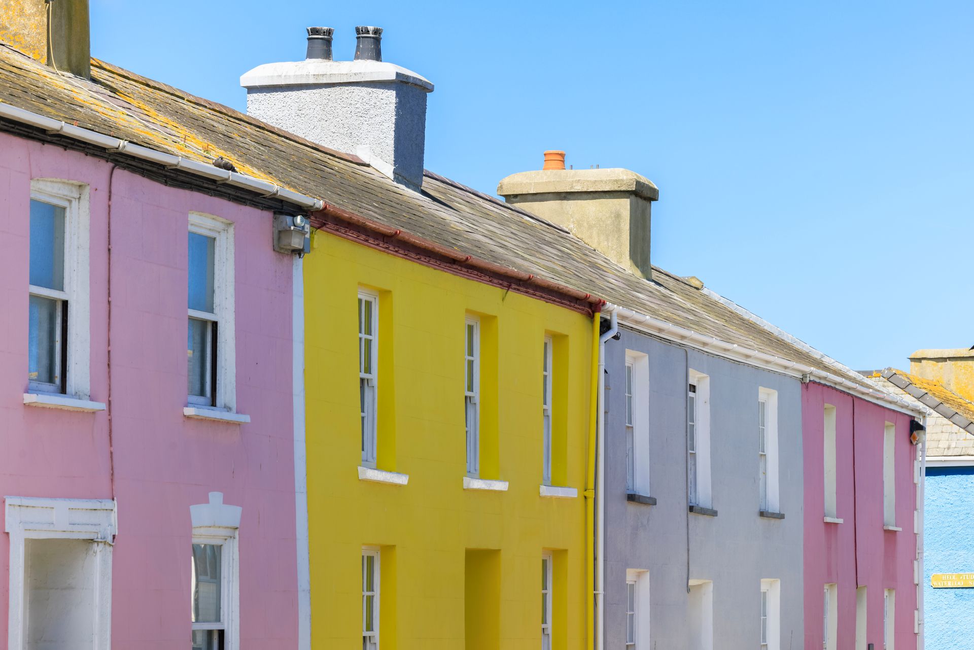
Aberaeron is the pre-eminent survivor (along with possibly Tremadog in the North) of a number of planned towns in Wales dating from the 19th century. Due to the overall control of the initial works by one estate and the limited subsequent development, following the 1830 to 1870 expansion, the town has largely retained its architectural unity.
The general form of the town is laid out in a simple grid which had to be varied to incorporate existing roads, the river Aeron and the inner harbour. The general plan was for short terraces of houses with slightly larger hipped roof properties at each end. A prominent feature is the windows of 12 or 16 pane sashes which were larger than standard for the time, following a pattern set by John Nash at Llanerchaeron, and decorative porches or detailed fanlights further enhance the elevations. A general pattern was set for the town but difficulties in keeping local builders to that set form has resulted in some diversity of detail.
The town has an unusual distinction of being easy to date its establishment as, in 1807, the Act of Parliament was passed granting a local landowner, Reverend Thomas Jones Alban Gwynne, (who had inherited and married into Ty Glyn and Monachty - two local landed estates and fortunes), the right to construct a harbour in the area where there were only a few small cottages, smallholdings and the ruined Cadwgan Castle.
The harbour was constructed at cost of £6000 between 1807 and 1809 but surprisingly little of the town was built before Reverend Alban Gwynne died in 1819 and nothing more before his widow’s death in 1830. Subsequently Gwynne’s son, Colonel A.T.J.Gwynne proceeded to rapidly expand the town, granting the first leases based upon a plan almost certainly drawn up by the Shrewsbury architect Edward Haycock and not John Nash, as has been optimistically claimed by some in the past.
Initial expansion was on Market Street upon which the Town Hall was built in 1833 and, in 1834, the distinctive Alban Square was laid out. Many of the street names are typical of the period, commemorating famous battles or regal persons e.g. Waterloo; Regent; Wellington; Queen Victoria and Albert. The 1845 map indicates the development was very slow other than between the bridge and harbour including Bridge Street, Market Street and Tabernacle Street. Portland Place, west of the bridge, holds a date stone of 1855 showing that the original patterns of the 1830s continued well into Victorian times.
Coloured houses for which the town is so well known are the result of a great character, Mrs Sewell, who arrived in the town from London in the 1960s and started this trend. It made a pleasant change from the drab smooth cement finishes which had superseded the original lime-based roughcast on the walls and this was soon copied but with no official input from planners. To this day, there is no set pattern or imposition of colours on the townscape.
An architectural walk around the older parts of the town can be commenced from the single arch bridge of 1911 over the River Aeron from where the harbour can be best seen. Proceed along Bridge Street and turn left into Market Street at Evans Brothers, estate agents. This imposing three storey building and the similar Castle Hotel opposite illustrate the original 1830s desire to close street elevations with a distinguished end structure, and this works well in Market Street, with its irregular buildings. The Town Hall can be seen shortly along Market Street on the right. Built in 1833 to 1834, this originally had an open ar-cade on the ground level but this is now closed with arched windows. Its use has ranged from County Sessions to County Council offices and laterally the Town’s library until the County Council’s boneheaded and ill received decision to move that to the edge of town.
Down to the left of the Town Hall, take in the view of Victoria Street built up to 1850 of low two storey terraces with the typical hip ends. Market Street then opens out to Pwll Cam, the attractive inner harbour with houses on the west and north side looking over the basin and built between 1830 and 1840. On the latter elevation is the blue Milford House with its feature arch to Drury Lane. This was chosen to represent a very particular type of Welsh architecture on a famous postage stamp of the 1970s. The end of Cadwgan Place features three storey houses, the corner one having recently been converted to a hotel, which extend around the corner into Quay Parade which overlooks the main harbour. This street was built in the 1830s resulting in an informal group of two and three storey properties culminating at the northern end in the Harbourmaster Hotel which has incorporated the adjoining former warehouse and converted it into the bar and with hotel rooms over.
The return to Cadwgan Place can be done along the very traditional Drury Lane, from the rear of The Harbourmaster, where original low fishermen cottages have been greatly modernised or rebuilt and the large warehouse on the right is now an office building.
Once on Cadwgan Place, take a left hand turn to the corner of Tabernacle Street and look slightly down the street to view the facade of Tabernacle Calvinistic Methodist chapel, the only remaining active non-conformist place of worship in the town. This was constructed in 1833 but the imposing front, with its well detailed Bath stone doors, was remodelled in 1869. The other chapels of the town including Peniel Independent Chapel, which will be passed in Water Street no longer hold services. The Church, by Edward Heycock is not on this route but can be viewed a short distance along Bridge Street.
From Cadwgan Place/Market Street, the walk along Victoria Street culminates at its eastern end initially onto Regent Street and further to the parallel Oxford Street both of the 1860s. These terraces were clearly incomplete at their northern end opening onto rough ground, and Oxford Street now consists largely of more modern former local authority houses which have blended into place. They both join North Road at the southern end and from there the right-hand turn takes one onto Alban Square.
Aberaeron is famous for the square, a rare example in Wales and recent reporting by one of the scriptwriters of EastEnders indicated that it may have been the inspiration for the fictitious Albert Square in Walford! According to Jan Morris’ excellent book on Wales, this area was originally designed to be an open formal garden with paths and fountains. Unfortunately, this never happened and the area was hedged and consigned to be used largely as football pitch, cycle track and as the focal meeting point for town events, such as the annual Carnival held on August Bank Holiday.
The scale of houses fails to truly enclose the square and the northern side reads more as an extension of North Road. The southern side tries harder with some imposing three storey properties such as the Black Lion public house and Number 26, but the in-fill two storey properties show a lack of confidence to create a bold, imposing urban square.
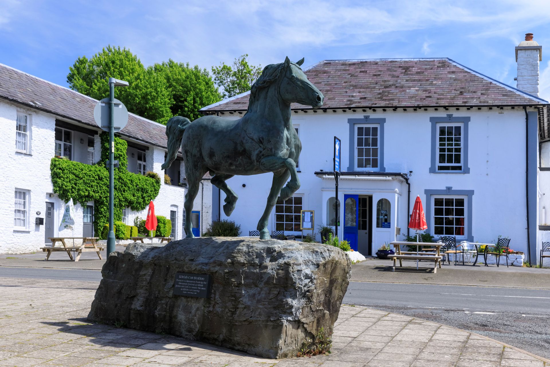
At the lower end of the Square, the Feathers Royal Hotel of 1840 is a substantial three bay hip block which would have benefited from being larger to dominate the eyeline and it is unfortunate that, because the original Lampeter Road was not realigned, the building is offset further losing the formality of a square.
From the south side the road turns sharply at the long-established Wool Shop, a very unusual but pleasing design, especially the roof detail constructed to infill an awkward corner plot, leading to the smaller houses lower down Albert Street of the 1860s. The road leads to Water Street, the industrial part of town which relied on water from the river leets to run wheels which powered mills, a tannery and a shovel hammer (displayed at Swansea Maritime Museum). At the sharp right-hand bend at the start of Water Street, the tall buildings on your left are the remains of the industrial area.
The end of Water Street opens at the crossroads. By turning left, one can again cross the bridge and admire the elegant Portland Place of the 1850s regarded by many as the finest single terrace in the town. This array of seven three-bay houses, with imposing hip roofed houses at each end, epitomises the architectural finery of the earlier parts of the town and concludes this short tour.